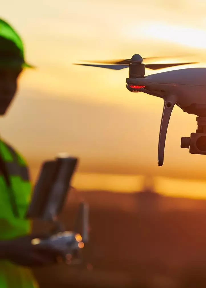
UAV Drone Surveying
Blackpool, Lancashire
Do you require UAV drone surveying in Blackpool, Lancashire and the surrounding areas.
We provide HD pictures indicating defects in structures and buildings. The survey is cost-effective since it reduces the pre-requisites needed for access towers and scaffolding.
Both post and pre-work surveys can be undertaken, offering much-needed peace of mind to the design engineer and the client that the project was completed to the requested specification.
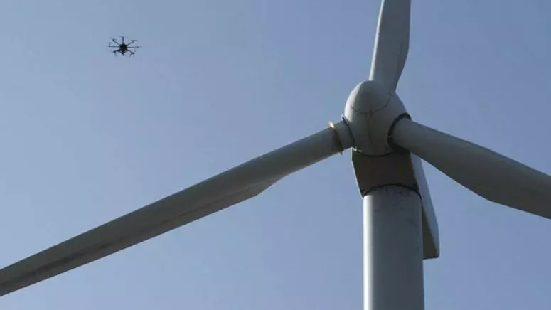
Aerial Inspections and Surveys
Historically, aerial inspections and surveys have been time-consuming and costly. As technology advances, G J Brookes Ltd offers a wide range of drone inspection and drone survey applications.
We offer drone mapping of a wide range of locations and areas by using accurate GPS guidance systems to guide our drone aerial systems.
- Drone Inspections
- Construction Project Surveys
- Drone Roof Surveys
- River Surveys
We not only use well-trained drone pilots but we have also invested in professional grade 4K Ultra HD camera systems. This technology not only ensures that we conform to industry best practices but also offers clients a much-needed peace of mind that the aerial drone surveys will be of high standard and compliant with both aviation requirements and construction regulations.
Our wide array of solutions is crafted to meet established requirements across a variety of industries. From videography to still images, our immense wealth of experience across all aspects of aerial surveillance ensures that our clients benefit from our expert opinions in the execution and planning phases of their construction projects.
Building Inspections and Drone Roof Surveys
Our drone roof survey package provides videos and pictures of roofs that might otherwise be hard to inspect and survey.
This package provides good insights into a building's condition. Moreover, we are able to spot potential hazards like leaks and fragile roof leaks through HD videos. Consider taking advantage of our drone roof survey package to avoid the costs associated with hiring a non-professional to survey your roof.
Drone Mapping Services
Drone mapping, either in 3D or 2D, is used to enable accurate measurement and planning. Our state-of-the-art drone systems can cover large areas safely and quickly to come up with detailed and clear maps. We also provide 3D models since our systems are compatible with numerous design programs such as CAD.
If you require UAV drone surveying in Blackpool, Lancashire and the surrounding areas contact our specialist today. Call 01253 766 135.